
Road Closures in Northampton
There are approximately 16 road closures within 5 miles of Northampton today.
16 closures
Data last updated: 20 Oct 2026, 09:50 (UK time)
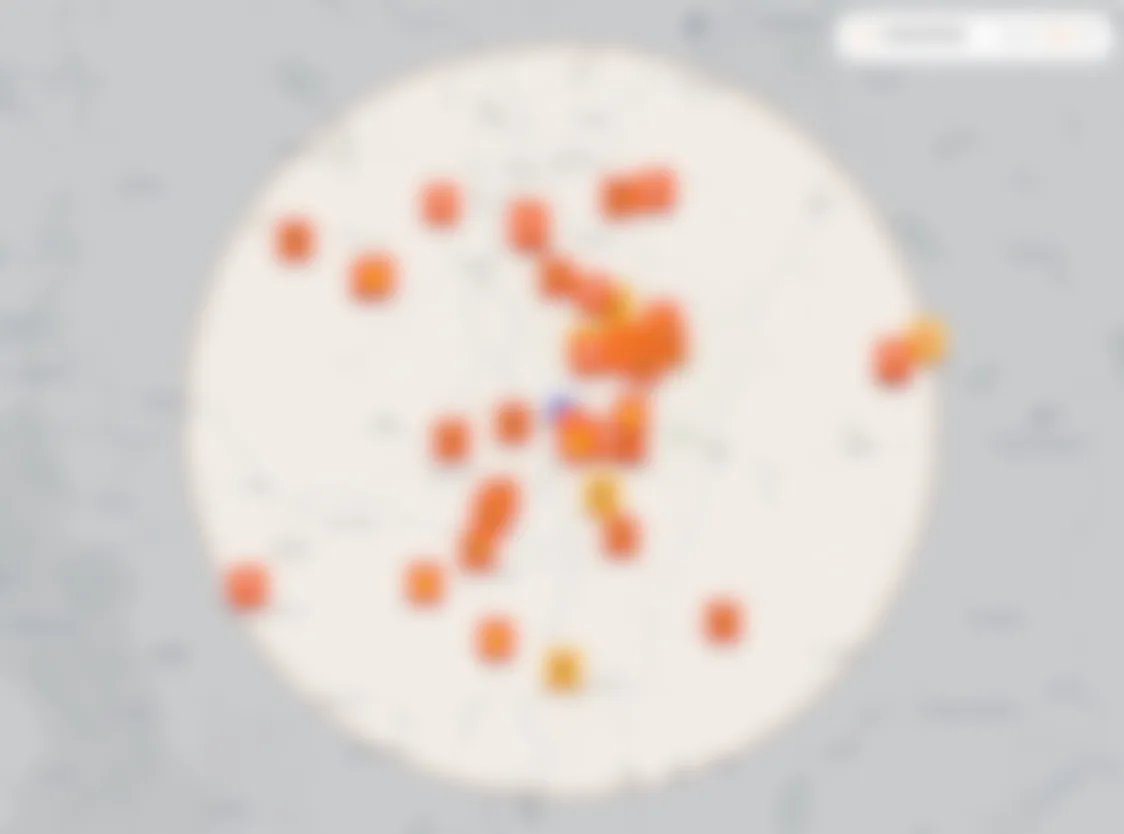
Tap any marker to open the full map · use two fingers to pan
All roadworks
Towns
16 works active road closures
Live now
- Live
Whitworth Road, Northampton
Road closedIn progressWest Northamptonshire Council
LiveWhitworth Road, Northampton
Road closedIn progressWest Northamptonshire Council
- Live
Quinton Road, Courteenhall
Road closedEnds in 1d 4hWest Northamptonshire Council
LiveQuinton Road, Courteenhall
Road closedEnds in 1d 4hWest Northamptonshire Council
- Live
Courteenhall Road, Quinton
Road closedEnds in 1d 4hWest Northamptonshire Council
LiveCourteenhall Road, Quinton
Road closedEnds in 1d 4hWest Northamptonshire Council
- Live
Bostock Avenue, Northampton
Road closedEnds in 4h 58mWest Northamptonshire Council
LiveBostock Avenue, Northampton
Road closedEnds in 4h 58mWest Northamptonshire Council
- Live
Piddington Lane, Hackleton
Road closedAwaiting end confirmationWest Northamptonshire Council
LivePiddington Lane, Hackleton
Road closedAwaiting end confirmationWest Northamptonshire Council
- Live
Malzor Lane, Milton Malsor
Road closedEnds in 13h 58mAnglian Water
LiveMalzor Lane, Milton Malsor
Road closedEnds in 13h 58mAnglian Water
- Live
Merthyr Road, Northampton
Road closedEnds in 2d 13hNational Grid Electricity Distribution (east Midlands)
LiveMerthyr Road, Northampton
Road closedEnds in 2d 13hNational Grid Electricity Distribution (east Midlands)
- Live
Green Street, Milton Malsor
Road closedEnds in 9d 14hCadent Gas Limited
LiveGreen Street, Milton Malsor
Road closedEnds in 9d 14hCadent Gas Limited
- Live
Derby Road, Northampton
Road closedEnds in 12d 5hWest Northamptonshire Council
LiveDerby Road, Northampton
Road closedEnds in 12d 5hWest Northamptonshire Council
- Live
Gayton Road, Bugbrooke
Road closedEnds in 253d 6hWest Northamptonshire Council
LiveGayton Road, Bugbrooke
Road closedEnds in 253d 6hWest Northamptonshire Council
- Live
Bridgewater Drive, Northampton
Lane closedEnds in 3d 6hWest Northamptonshire Council
LiveBridgewater Drive, Northampton
Lane closedEnds in 3d 6hWest Northamptonshire Council
- Live
Mereway, Northampton
Lane closedEnds in 19d 20hNational Highways
LiveMereway, Northampton
Lane closedEnds in 19d 20hNational Highways
- Live
London Road A508, Northampton
Lane closedEnds in 19d 20hNational Highways
LiveLondon Road A508, Northampton
Lane closedEnds in 19d 20hNational Highways
- Live
London Road A508, Northampton
Lane closedEnds in 19d 20hNational Highways
LiveLondon Road A508, Northampton
Lane closedEnds in 19d 20hNational Highways
- Live
London Road A508, Northampton
Lane closedEnds in 19d 20hNational Highways
LiveLondon Road A508, Northampton
Lane closedEnds in 19d 20hNational Highways
- Live
Mereway, Northampton
Lane closedEnds in 19d 20hNational Highways
LiveMereway, Northampton
Lane closedEnds in 19d 20hNational Highways
What's happening in Northampton?
No account needed. Random nickname on this device. Privacy
Loading comments…
A few things can cause this. The promoter (the council or utility company) may have submitted incomplete or late data to Street Manager. It could be an emergency that appeared with very little notice. Or it might be something on our end that needs a tweak. If you spot a gap, drop us an email or use the chat — tell us the road and we'll look into it.
Roadworks Radar builds its picture from event notifications sent through Street Manager. If a closure was already in place before we started receiving data, we may have missed the original notification entirely. Very long-standing closures — ones that have been there for many months — might not appear as a result. It's a known gap that should close as our dataset matures. For closures that have been around a long time, your local council's website is the most reliable check.
Yes. We now include motorway and trunk road closures from National Highways alongside local road data from the Department for Transport. Look for the blue NH badge on motorway works. Together, these sources give you a comprehensive view of roadworks across England's entire road network.
These won't appear here. Street Manager only covers works that promoters are legally required to notify. Emergency closures caused by flooding, local events, or short-notice council decisions go through a different process. For that kind of disruption, your local council's website or their social media channels are usually the quickest source.
Directly from the UK Department for Transport's Street Manager — the official system that councils and utility companies must use when notifying about works on public roads. This page is rebuilt four times a day so the data is never more than a few hours old, and we don't modify or filter what promoters submit.
More questions? Visit our support page
Don't get caught out
Is your commute through Northampton clear tomorrow?
All roadworks
Towns
16 works active road closures
Live now
- Live
Whitworth Road, Northampton
Road closedIn progressWest Northamptonshire Council
LiveWhitworth Road, Northampton
Road closedIn progressWest Northamptonshire Council
- Live
Quinton Road, Courteenhall
Road closedEnds in 1d 4hWest Northamptonshire Council
LiveQuinton Road, Courteenhall
Road closedEnds in 1d 4hWest Northamptonshire Council
- Live
Courteenhall Road, Quinton
Road closedEnds in 1d 4hWest Northamptonshire Council
LiveCourteenhall Road, Quinton
Road closedEnds in 1d 4hWest Northamptonshire Council
- Live
Bostock Avenue, Northampton
Road closedEnds in 4h 58mWest Northamptonshire Council
LiveBostock Avenue, Northampton
Road closedEnds in 4h 58mWest Northamptonshire Council
- Live
Piddington Lane, Hackleton
Road closedAwaiting end confirmationWest Northamptonshire Council
LivePiddington Lane, Hackleton
Road closedAwaiting end confirmationWest Northamptonshire Council
- Live
Malzor Lane, Milton Malsor
Road closedEnds in 13h 58mAnglian Water
LiveMalzor Lane, Milton Malsor
Road closedEnds in 13h 58mAnglian Water
- Live
Merthyr Road, Northampton
Road closedEnds in 2d 13hNational Grid Electricity Distribution (east Midlands)
LiveMerthyr Road, Northampton
Road closedEnds in 2d 13hNational Grid Electricity Distribution (east Midlands)
- Live
Green Street, Milton Malsor
Road closedEnds in 9d 14hCadent Gas Limited
LiveGreen Street, Milton Malsor
Road closedEnds in 9d 14hCadent Gas Limited
- Live
Derby Road, Northampton
Road closedEnds in 12d 5hWest Northamptonshire Council
LiveDerby Road, Northampton
Road closedEnds in 12d 5hWest Northamptonshire Council
- Live
Gayton Road, Bugbrooke
Road closedEnds in 253d 6hWest Northamptonshire Council
LiveGayton Road, Bugbrooke
Road closedEnds in 253d 6hWest Northamptonshire Council
- Live
Bridgewater Drive, Northampton
Lane closedEnds in 3d 6hWest Northamptonshire Council
LiveBridgewater Drive, Northampton
Lane closedEnds in 3d 6hWest Northamptonshire Council
- Live
Mereway, Northampton
Lane closedEnds in 19d 20hNational Highways
LiveMereway, Northampton
Lane closedEnds in 19d 20hNational Highways
- Live
London Road A508, Northampton
Lane closedEnds in 19d 20hNational Highways
LiveLondon Road A508, Northampton
Lane closedEnds in 19d 20hNational Highways
- Live
London Road A508, Northampton
Lane closedEnds in 19d 20hNational Highways
LiveLondon Road A508, Northampton
Lane closedEnds in 19d 20hNational Highways
- Live
London Road A508, Northampton
Lane closedEnds in 19d 20hNational Highways
LiveLondon Road A508, Northampton
Lane closedEnds in 19d 20hNational Highways
- Live
Mereway, Northampton
Lane closedEnds in 19d 20hNational Highways
LiveMereway, Northampton
Lane closedEnds in 19d 20hNational Highways
What's happening in Northampton?
No account needed. Random nickname on this device. Privacy
Loading comments…
A few things can cause this. The promoter (the council or utility company) may have submitted incomplete or late data to Street Manager. It could be an emergency that appeared with very little notice. Or it might be something on our end that needs a tweak. If you spot a gap, drop us an email or use the chat — tell us the road and we'll look into it.
Roadworks Radar builds its picture from event notifications sent through Street Manager. If a closure was already in place before we started receiving data, we may have missed the original notification entirely. Very long-standing closures — ones that have been there for many months — might not appear as a result. It's a known gap that should close as our dataset matures. For closures that have been around a long time, your local council's website is the most reliable check.
Yes. We now include motorway and trunk road closures from National Highways alongside local road data from the Department for Transport. Look for the blue NH badge on motorway works. Together, these sources give you a comprehensive view of roadworks across England's entire road network.
These won't appear here. Street Manager only covers works that promoters are legally required to notify. Emergency closures caused by flooding, local events, or short-notice council decisions go through a different process. For that kind of disruption, your local council's website or their social media channels are usually the quickest source.
Directly from the UK Department for Transport's Street Manager — the official system that councils and utility companies must use when notifying about works on public roads. This page is rebuilt four times a day so the data is never more than a few hours old, and we don't modify or filter what promoters submit.
More questions? Visit our support page
Don't get caught out