
Road closures in Ayr
There are approximately 3 road closures within 5 miles of Ayr today.
3 closures
Data last updated: 25 Oct 2026, 04:16 (UK time)
All roadworks (not just closures)? See roadworks in Ayr
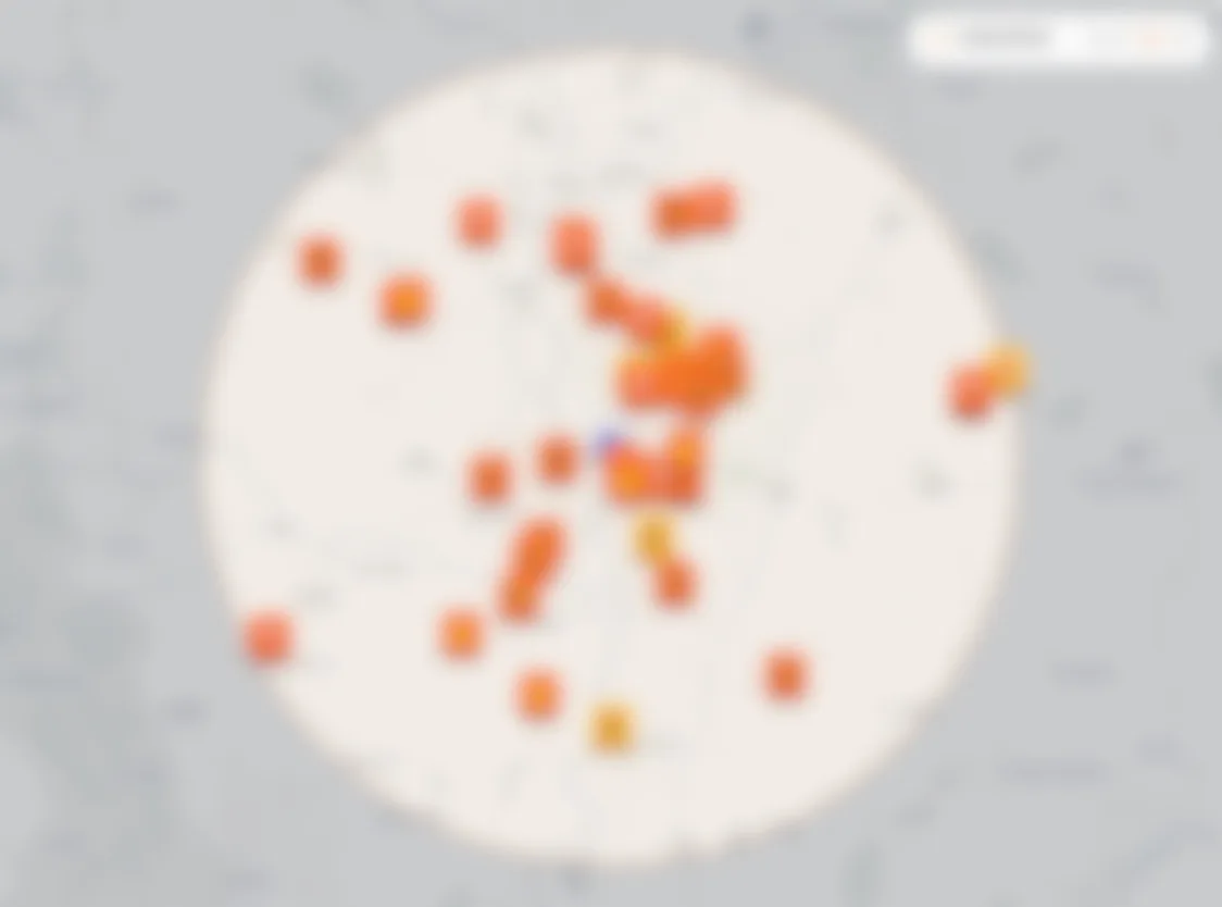
Tap any marker to open the full map · use two fingers to pan
All roadworks
Towns
3 works active road closures
Live now
- Live
C2 From A70 South East Of Belston To Council Boundary South Of Laigh Dalmore, Mauchline
Road closedEnds in 5h 54mScottish Water
LiveC2 From A70 South East Of Belston To Council Boundary South Of Laigh Dalmore, Mauchline
Road closedEnds in 5h 54mScottish Water
- Live
Glenburn Road, Prestwick
Road closedEnds in 32d 5hSouth Ayrshire Council
LiveGlenburn Road, Prestwick
Road closedEnds in 32d 5hSouth Ayrshire Council
- Live
Access Road From Whitletts Road To Roundabout At Supermarket, Ayr
Lane closedEnds in 7d 5hLast Mile Electricity Ltd.
LiveAccess Road From Whitletts Road To Roundabout At Supermarket, Ayr
Lane closedEnds in 7d 5hLast Mile Electricity Ltd.
Closures in nearby Scottish towns
FAQ
- Where does closure data for Ayr come from?
- We use open data from the Scottish Road Works Register (SRWR), Scotland's statutory register for notified roadworks. This page shows full and lane closures within 5 miles of Ayr.
- How fresh is the data?
- SRWR publishes a daily export overnight. We sync each morning and rebuild this page, so listings are typically less than 24 hours old.
- Can I get alerts for closures near Ayr?
- You can plot a route on Roadworks Radar and turn on email alerts, but Scottish roadworks data is still in beta. Matching and notifications may miss works, arrive late, or behave differently from our England coverage. We are improving this, but we cannot guarantee the same reliability yet.